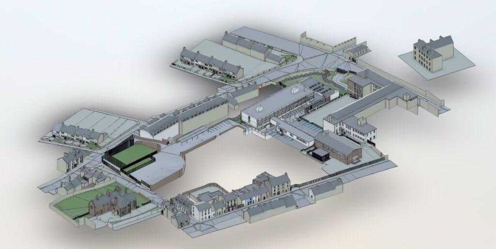
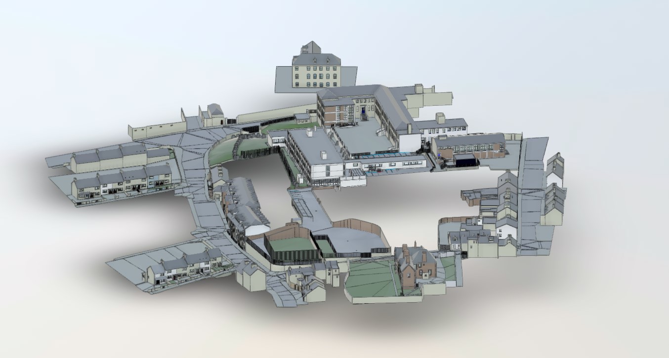
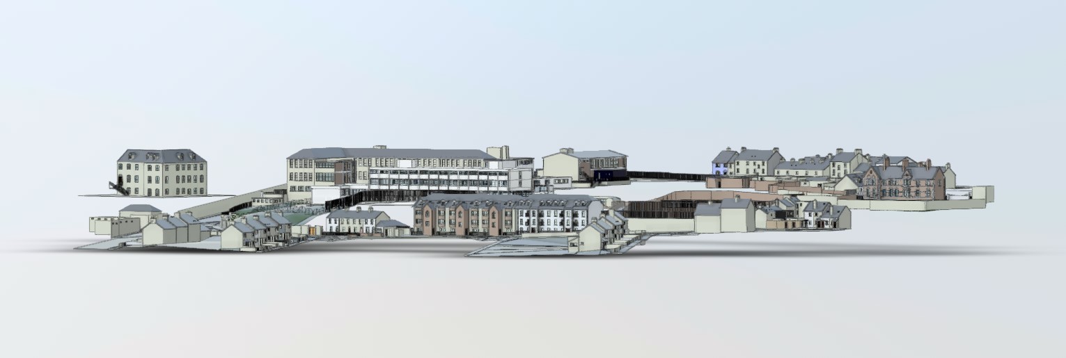
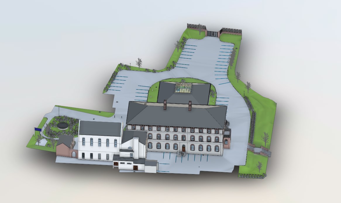
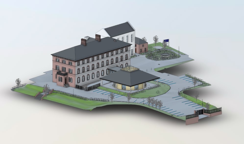
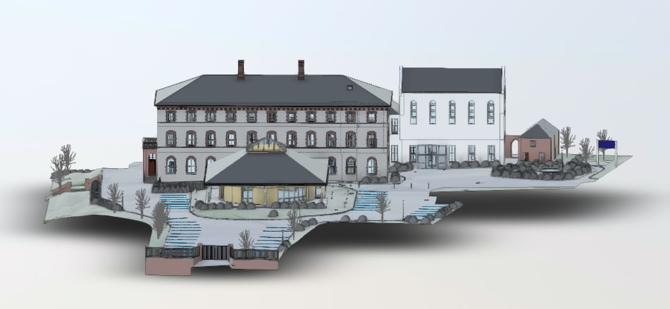
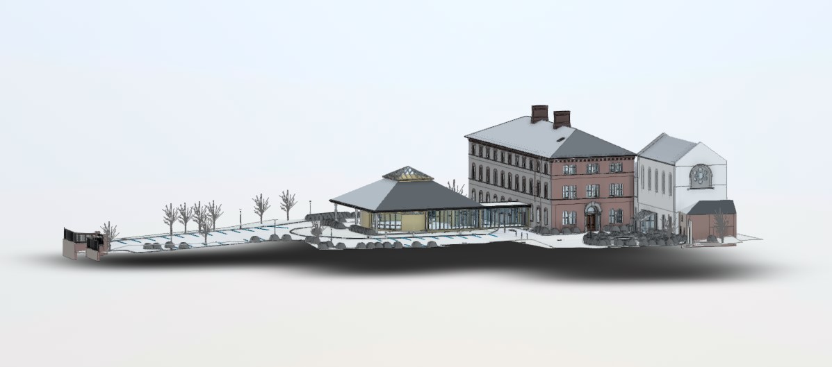
We Carried out a 3D Laser Scan, Topographical Survey and GPR Survey of the Mount Sion to Deliver 3D BIM Model, Topography in Revit and GPR in CAD with the Required Level of detail.
Results
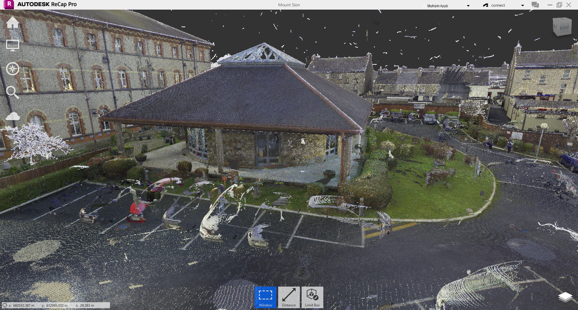
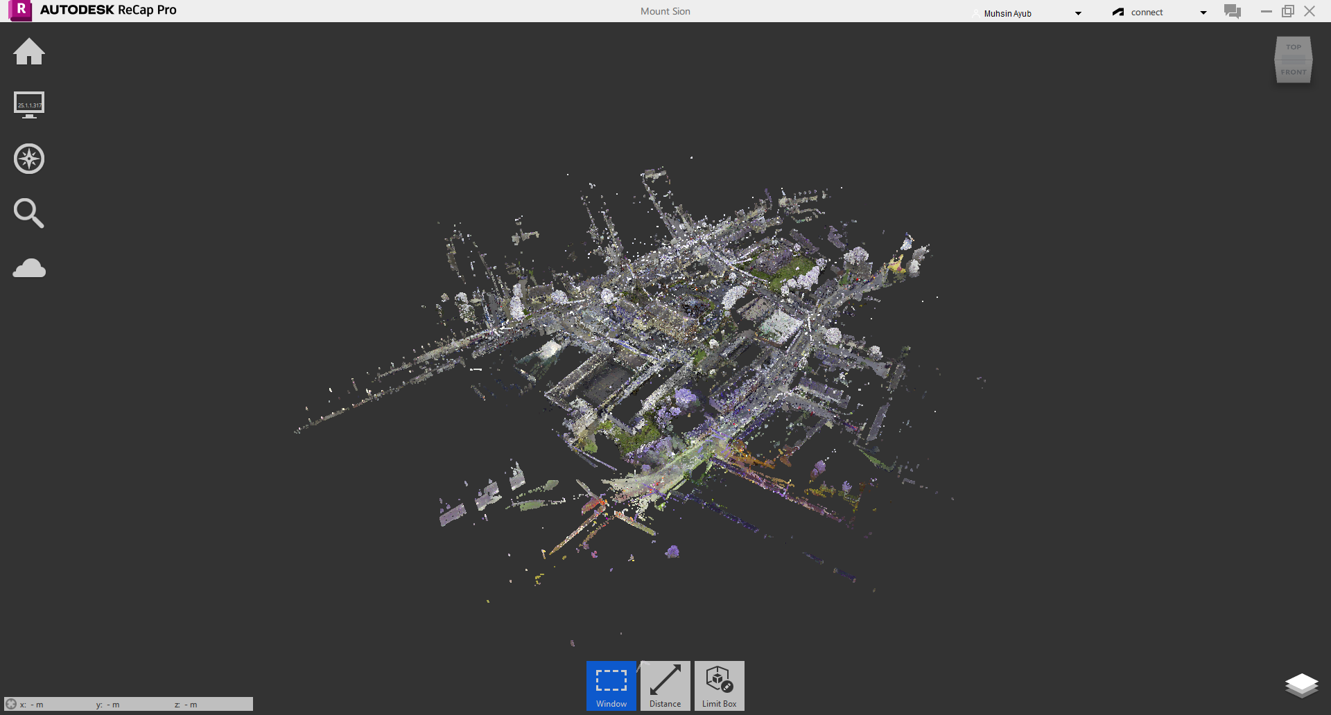
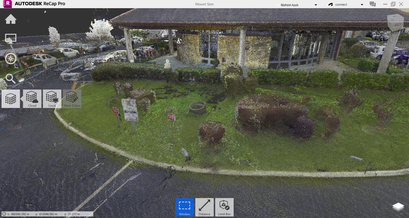
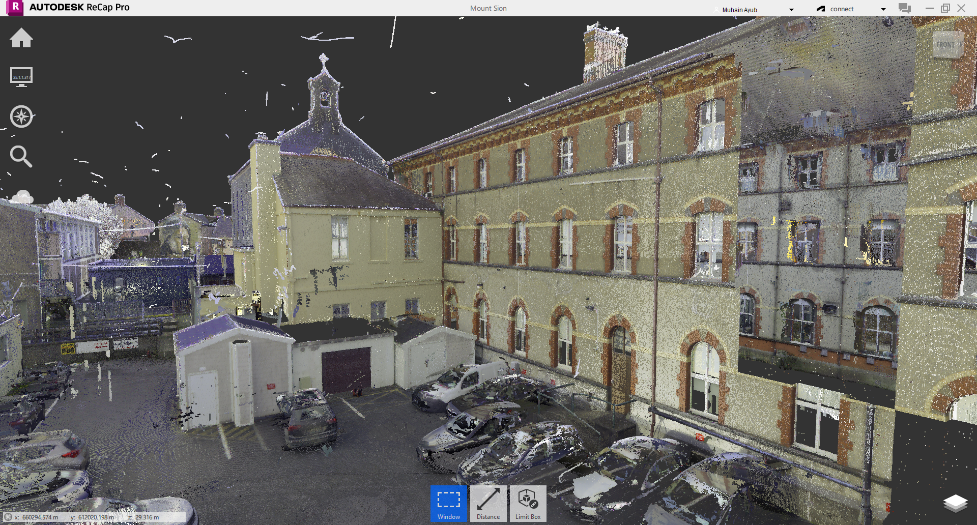
We scanned the site with Leica scanner.
Entire interior and exterior surveyed.
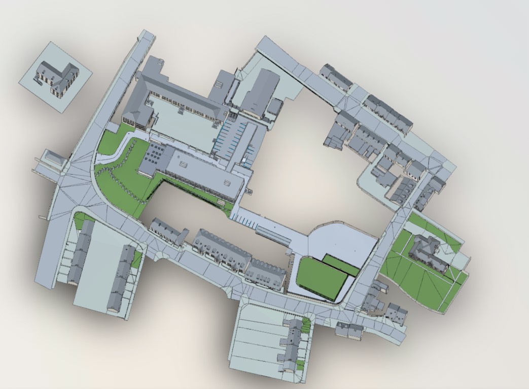
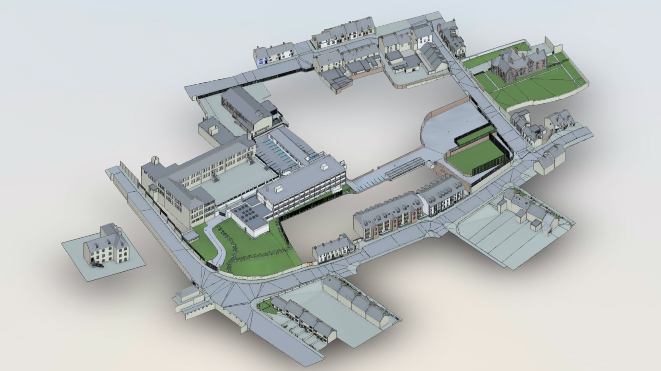
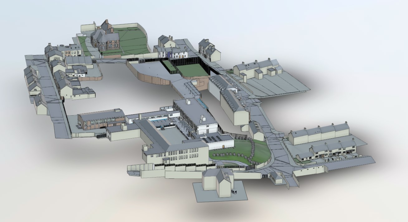
Detailed elevations, floor plans, sectional elevations were produced in AutoCad format.
Consulted with the Architect to specify the special items of interest like wall textures, doors, etc.
Deliverables were the Revit Model (Building and Topography), 360 Imagery, Point Cloud, and GPR AutoCAD files.